

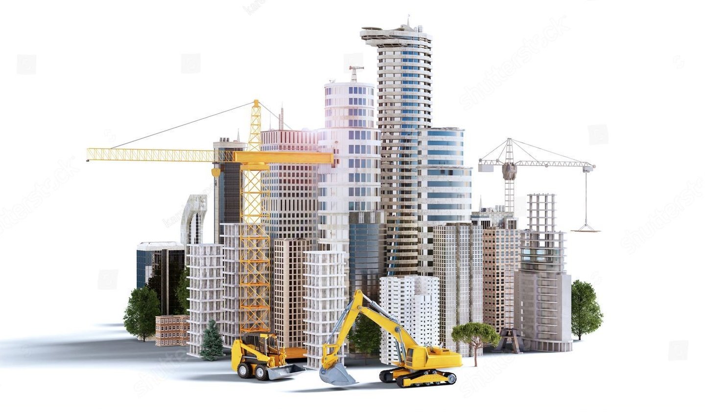
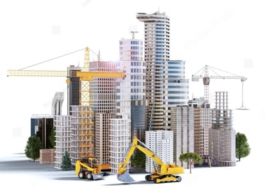
We are a Côte d'Ivoire-based geomatics engineering company offering services in photogrammetric mapping, LiDAR scanning, cadastral surveying, and construction management.
Technology and Innovation
Our Services and Tools
We provide high-quality services in the field of geomatics engineering using advanced equipment such as total stations, LIDAR, GPS, drones, and aircraft. Our focus is on innovation and technological advancement.
To merge geomatics engineering with advanced technologies, delivering smarter, more precise, and more sustainable spatial solutions across every corner of the world.
At Altivis GeoMapping Services, our mission is to lead innovation in the industry through drone-based photogrammetric mapping, LiDAR scanning, and geospatial analysis technologies.
OUR VISION
OUR MISSION
To combine our engineering knowledge with high-accuracy data production to deliver reliable mapping solutions.
By effectively utilizing drone, LiDAR, GPS, and remote sensing technologies, we aim to provide fast, efficient, and innovative services to our clients.
To adopt a solution-oriented approach based on technological infrastructure, covering a wide range of services from cadastral surveying to construction management.
To make a difference in our industry with an ethical, sustainable, and quality service approach.
info@altivisgs.com
Address
Abidjan / Ivory Coast
Working Hours
08:00 - 18:00
ALTIVIS © 2025 All Rights Reserved