

We offer modern and innovative services in the field of geospatial engineering.
PHOTOGRAMMETRY
Photogrammetry is a remote sensing method that involves taking measurements from aerial or ground photographs to produce maps, plans, and 3D models.
GIS
It is a computer-based system that enables the collection, storage, analysis, and visualization of location-based data.
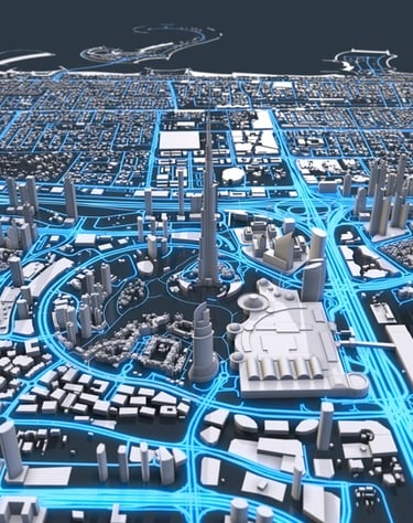
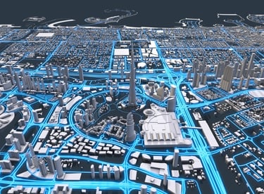
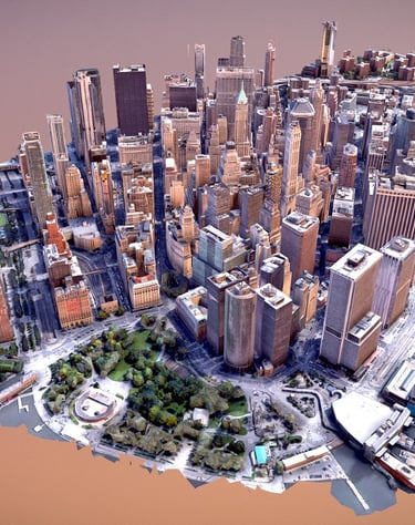
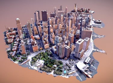
3D MODELLING
It is the process of creating a three-dimensional digital representation based on the position and elevation data of the land, structures, and objects.
CUT AND FILL CALCULATION
It is the leveling process of the land surface, where high areas are excavated and filled into lower areas to make the terrain suitable for the project.
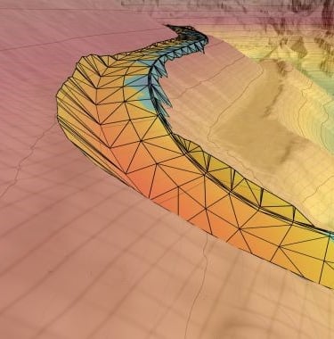
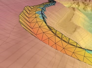
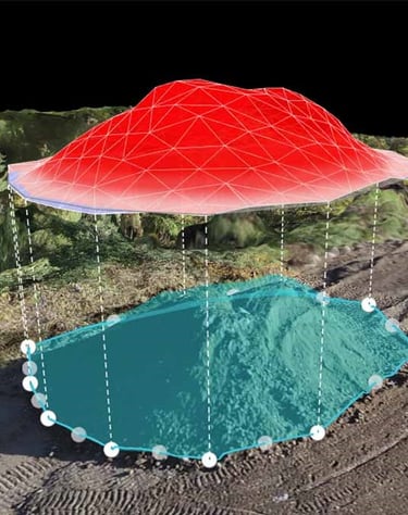
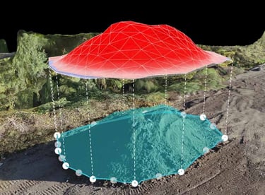
VOLUME CALCULATION
It is the process of calculating the volume of materials in excavation, fill, or stock areas in three dimensions using land measurements and digital surface models.
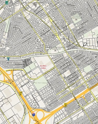
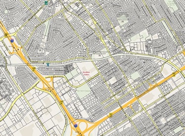
CADASTRE AND PROPERTY MANAGEMENT
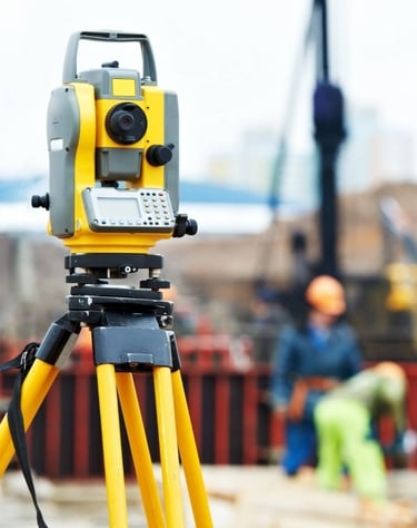
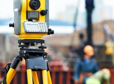
It refers to the detailed measurement of the Earth's natural and artificial features (topography) and the geoscientific studies conducted to precisely position these measurements on the Earth's surface (geodesy).
GEODESY & TOPOGRAPHY
It is the process of mapping and recording the ownership, boundaries, and usage information of real estate (land, buildings, etc.) and utilizing this data for land management.
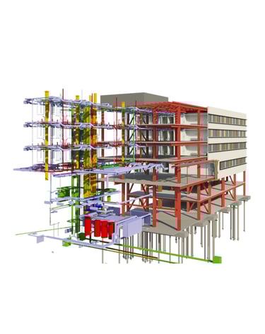
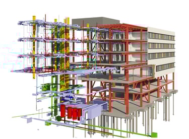
BIM (Building Information Model)
It is a process that integrates 3D modeling and information management, used for the digital design, construction, and management of buildings.
LIDAR
LIDAR is a surveying technology that uses laser pulses to obtain highly accurate and dense three-dimensional position data of a surface.
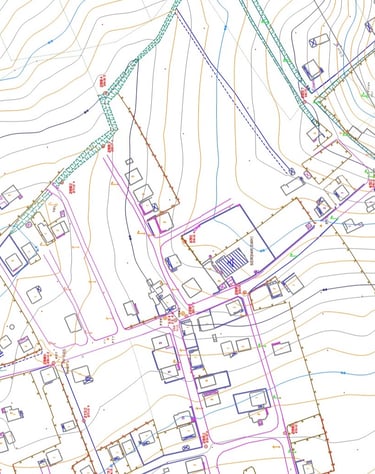
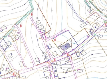
AS-BUILT MAP
It is the base map that shows the current condition of an area in detail and to scale.
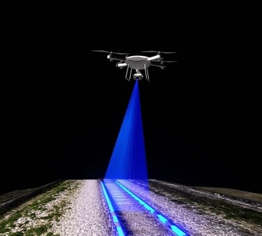
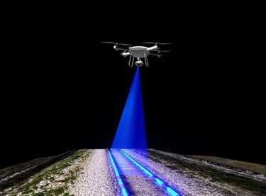
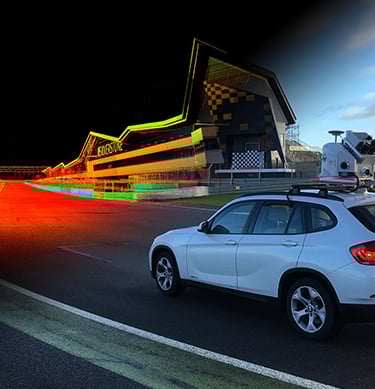
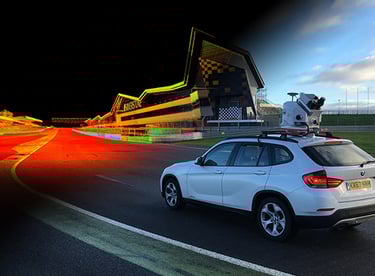
MOBILE MAPPING
Fast and accurate surveys from a vehicle equipped with LIDAR, GNSS, and cameras.
Georeferenced 3D data for your planning, roadwork, and analysis projects.
SITE SURVEYING
It refers to the application of the project to the land, including cut and fill operations, elevation applications, precise measurement and control, construction progress tracking, and coordinate and positioning services.
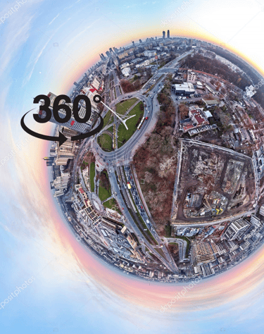
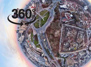
360° VIRTUAL TOUR
It is the process of making an area interactive and navigable in a digital environment through circular (panoramic) images captured with special cameras.
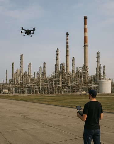
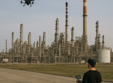
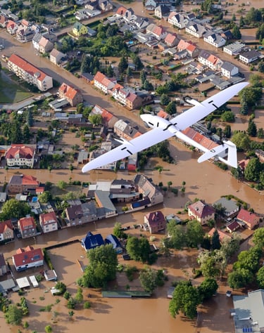
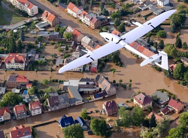
DRONE AERIAL FILMING
These are professional unmanned aerial vehicle (UAV) flights conducted for field monitoring, measurement, inspection, and data collection purposes in sectors such as mining, construction, agriculture, energy, and infrastructure
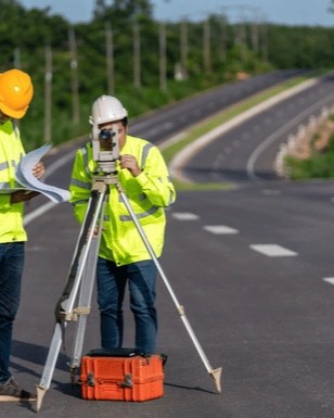
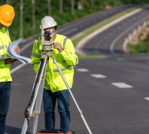
ROAD SURVEYS
These are horizontal and vertical positioning, alignment, elevation, and section measurements made for the planning, land application, and construction process control of road projects.
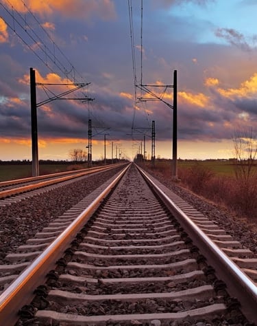
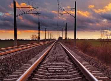
It is the precise measurement and monitoring of geometric elements such as track alignment, rail gauge, elevation, and slope for the design, land application, and construction process control of railway projects.
RAILWAY SURVEYS
info@altivisgs.com
Address
Abidjan / Ivory Coast
Working Hours
08:00 - 18:00
ALTIVIS © 2025 All Rights Reserved