

MEASUREMENT AND SITE IMPLEMENTATION
PRECISE IMPLEMENTATION FOR A CONTROLLED CONSTRUCTION SITE
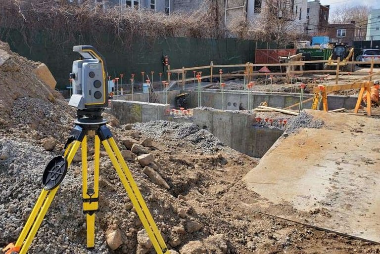
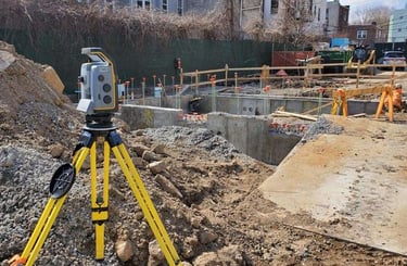
Each construction project starts on the ground. Site measurement and implementation (application) are essential steps to translate theoretical plans into the reality of the site. At Altivis, we ensure reliable implementation, compliant with design data and the tolerances required on the ground.
Implementation of buildings, roads, pipelines, fences, and other structures
Topographic surveys for control during and at the end of the project
Verification of elevation and planimetric data
Progress tracking and updating of "as-built" plans
Support for earthworks adjustments, excavation, or backfilling volumes
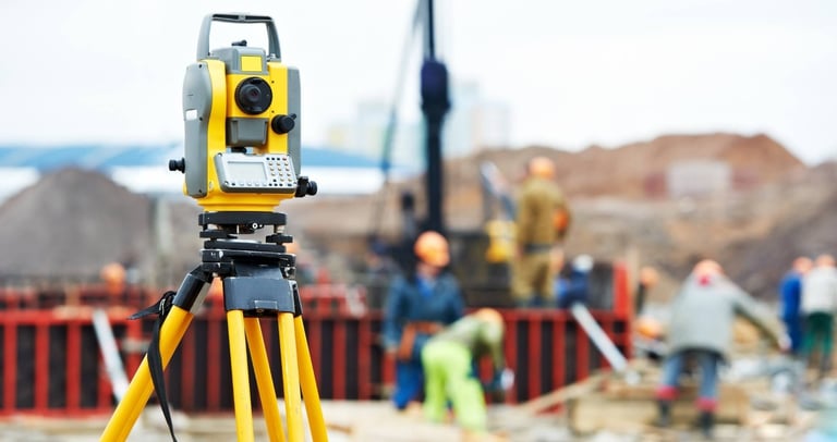
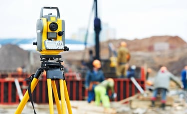
Altivis performs all these operations using advanced GNSS systems, total stations, and laser technologies, fully compliant with the project’s coordinate system.
TECHNOLOGIES WE USE
High-Precision GNSS Systems: Used for reliable topographic measurements and precise placement on-site.
Total Station: Provides high accuracy in distance and angle measurements for placement and site inspections.
LiDAR Technologies: Used for fast and detailed terrain data collection, even in challenging environments.
Photogrammetric Drones: Capture high-resolution aerial images for 3D modeling and aerial measurements.
Project Management Software: Used to track site progress, update plans, and manage data in real-time.
Altivis employs these advanced technology tools at every stage to ensure the precision of projects.
WHO IS IT FOR?
Construction companies
Architects and engineering firms
Project management offices
Public and private investors
👉 Contact us to ensure the accuracy and reliability of your site implementations.
With Altivis, your projects take shape on the ground, just as planned.
info@altivisgs.com
Address
Abidjan / Ivory Coast
Working Hours
08:00 - 18:00
ALTIVIS © 2025 All Rights Reserved