

Bring your projects to life with expert engineering support.
"Our profession and area of expertise require a systematic work routine and disciplined practices. In this framework, our entire team approaches their tasks with dedication and provides both technical support and accurate legal guidance to our clients. Our goal is to contribute to the continuation of social peace through the work we do."

" Altivis offers excellent services in the field of geospatial engineering. Thanks to drone and lidar technologies, we completed our projects quickly and accurately. I highly recommend them to all construction companies! "
★★★★★


Note: If you don't see the video, refresh the page.
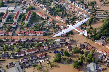
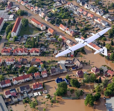
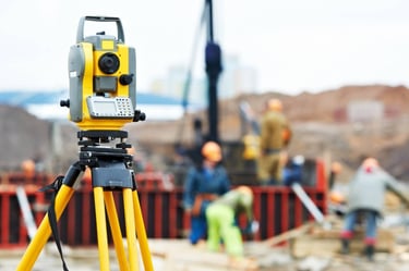
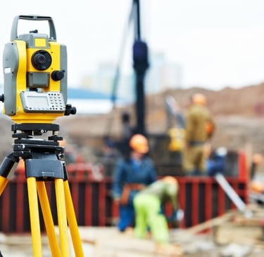
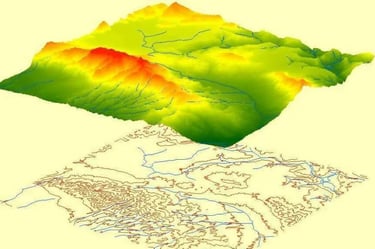
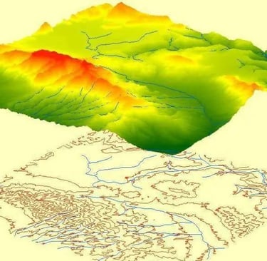
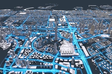
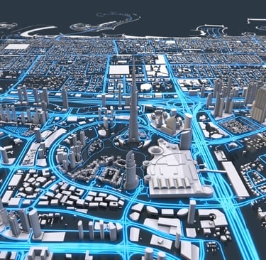
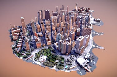
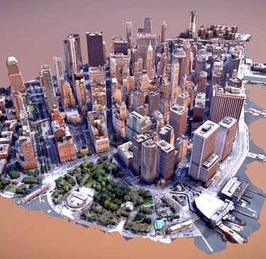
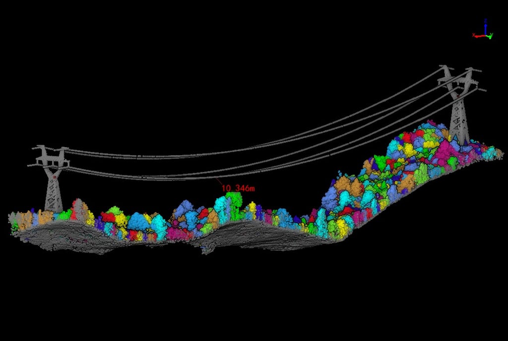
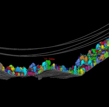
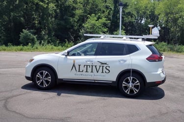
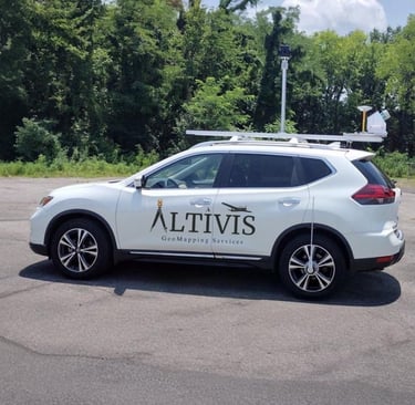
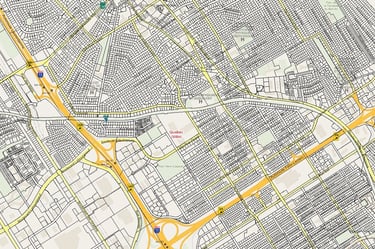
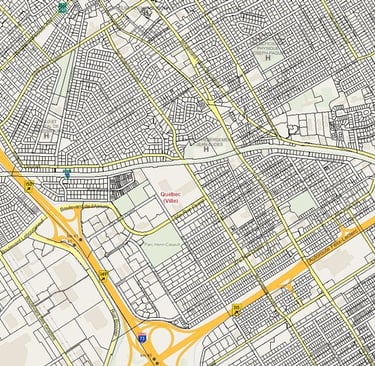
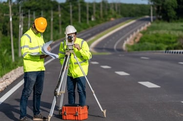
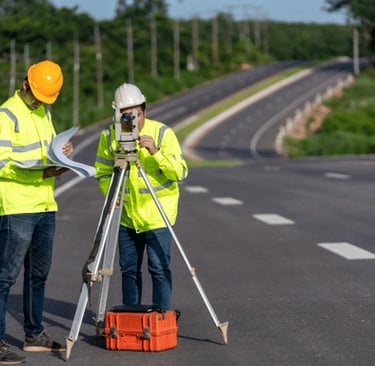
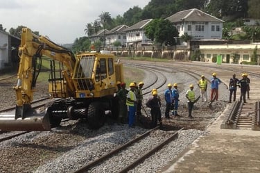
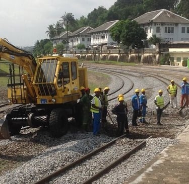
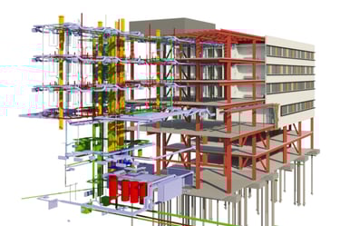
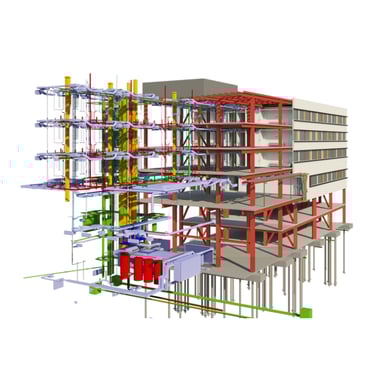
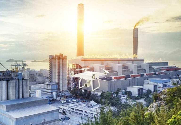
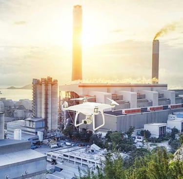
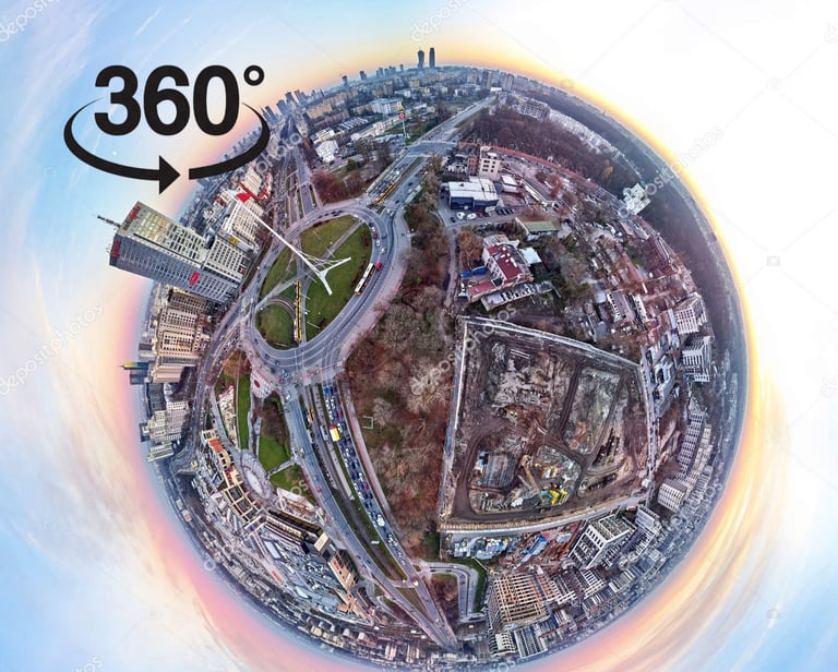
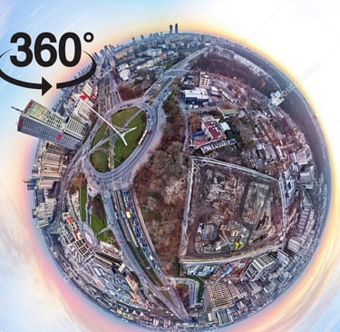
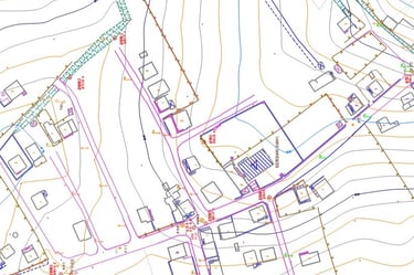
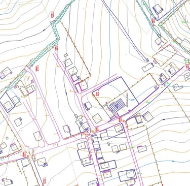
Gallery


info@altivisgs.com
Address
Abidjan / Ivory Coast
Working Hours
08:00 - 18:00
ALTIVIS © 2025 All Rights Reserved