

LIDAR
HIGH DENSITY CAPTURE FOR PRECISE MAPPING
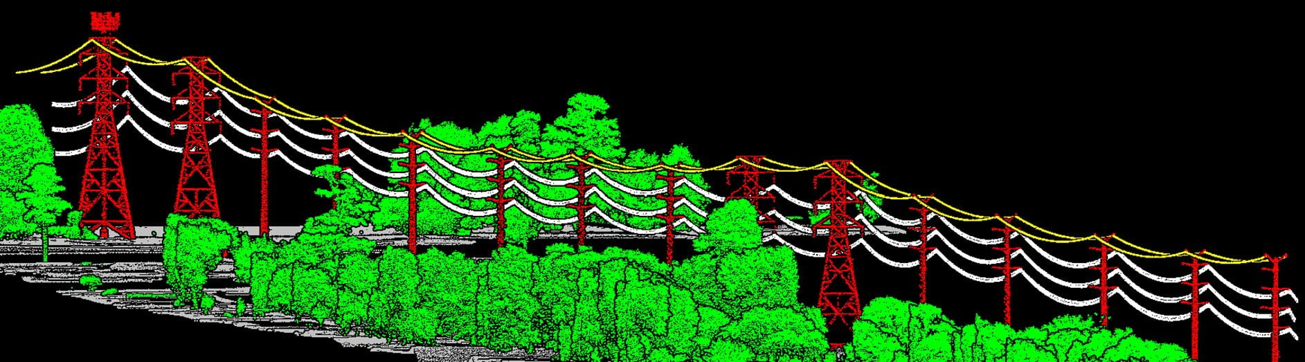
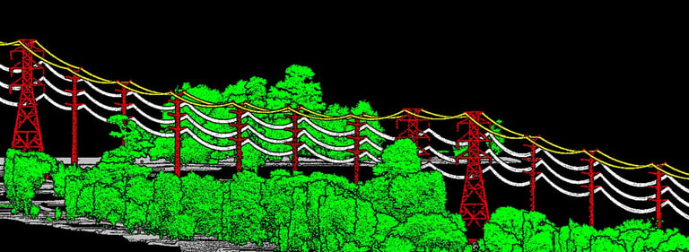
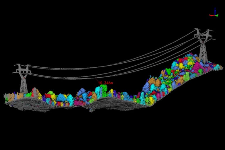
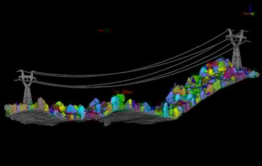
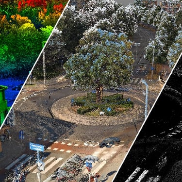
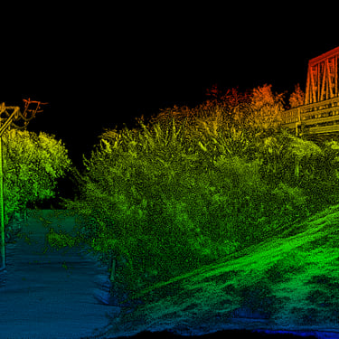
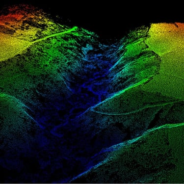
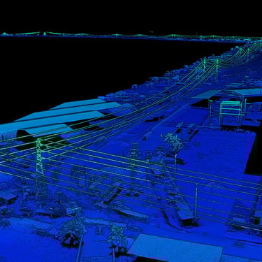
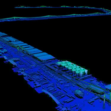
LIDAR (Light Detection and Ranging) technology enables high-density and precise topographic surveys, even in complex or densely wooded areas.
With our fleet of professional drones and state-of-the-art LIDAR sensors, Altivis provides reliable, georeferenced data that is immediately usable for all your projects.
WHAT IS LIDAR TECHNOLOGY?
LIDAR works by emitting laser pulses towards the ground and then analyzing the return time of the reflected signals. This allows for the creation of highly accurate 3D point clouds, regardless of lighting conditions or vegetation.
WHAT WE PROVIDE
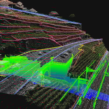
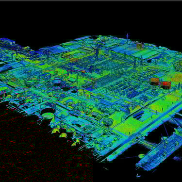
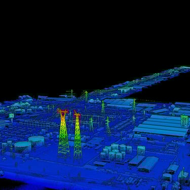
Aerial LIDAR acquisition by drone
Surveys on difficult-to-access or densely wooded terrains
Customizable point density: up to 400 points/m²
Georeferenced point cloud (UTM, TUREF, EPSG systems…)
Production of Digital Terrain Models (DTM) and Surface Models (DSM)
Extraction of contour lines, profiles, volumes
Delivery in LAS, LAZ, DXF, DWG, XYZ formats, etc.
APPLICATION AREAS
Detailed topographic surveys
Land planning projects
Civil engineering, earthworks, and large construction sites
Monitoring of erosion or landslides
Forest and environmental planning
Volume calculations (stocks, quarries, embankments, excavations)
Preparation of 3D or BIM models
info@altivisgs.com
Address
Abidjan / Ivory Coast
Working Hours
08:00 - 18:00
ALTIVIS © 2025 All Rights Reserved