

PHOTOGRAMMETRY SERVICES
HIGH-RESOLUTION MAPPING FROM GEOREFERENCED IMAGES
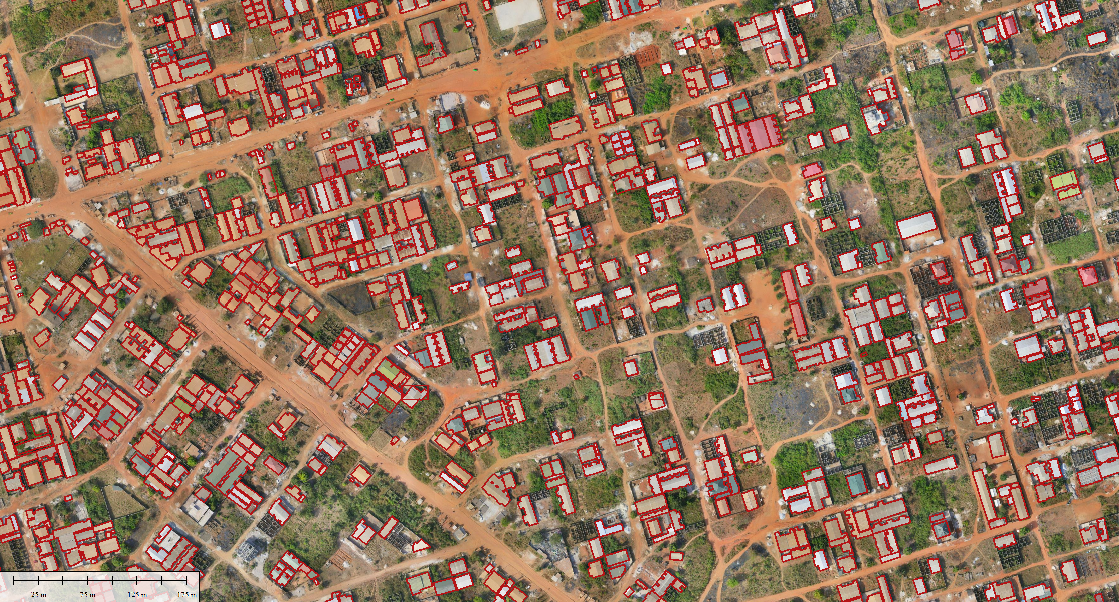
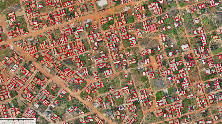
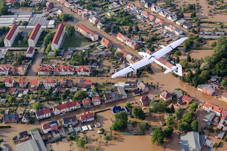
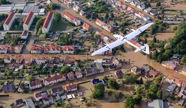
Photogrammetry is a mapping method that involves reconstructing the shape, dimensions, and position of land or structures from aerial photographs. Using professional drones, Altivis provides high-precision topographic data, orthophotos, 3D models, and detailed surveys.
WHAT WE OFFER
Acquisition of georeferenced imagery using drones equipped with high-resolution sensors
Generation of 3D point clouds and Digital Terrain Models (DTMs)
Creation of high-resolution orthophotos (2 to 5 cm/pixel)
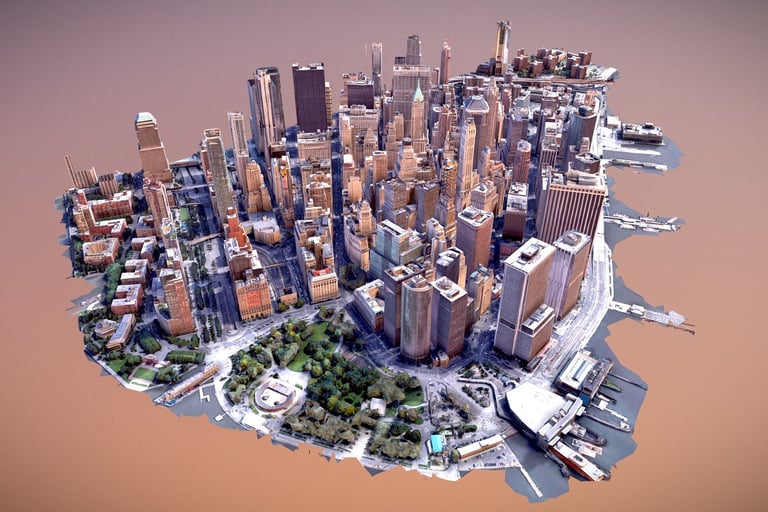
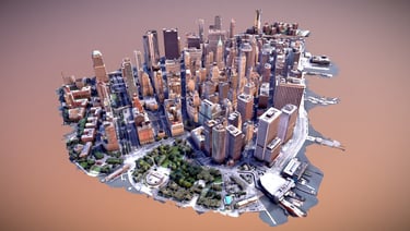
Production of textured 3D models and mesh reconstructions
Extraction of contour lines, profiles, and volume measurements
Delivery in GIS and CAD-compatible formats: GeoTIFF, OBJ, DXF, LAS, and more
APPLICATION AREAS
Large-scale topographic mapping
Construction site monitoring and progress tracking
Urban, land, and cadastral studies
Infrastructure projects, roadworks, and earthmoving
3D modeling of buildings, heritage sites, or industrial facilities
Surface and volume calculations (quarries, landfills, stockpiles)
OUR METHODOLOGY
Precise Flight Planning with GCP (Ground Control Points)
Accurate flight planning using ground control points to ensure high-precision results.Capture of Nadir and Oblique Images for Enhanced Detail
A combination of nadir (vertical) and oblique imagery for more detailed data collection.Photogrammetric Processing with Professional Software
Processing of imagery using advanced software such as Pix4D, Agisoft Metashape, ContextCapture, and more.Quality Control, Field Verification, and Georeferenced Data Export
Ensuring data accuracy through field verification and the export of georeferenced data in various formats.
DO YOU HAVE A SURVEY OR AERIAL MAPPING PROJECT?
Contact us today for a study or a site demonstration.
info@altivisgs.com
Address
Abidjan / Ivory Coast
Working Hours
08:00 - 18:00
ALTIVIS © 2025 All Rights Reserved