


AS-BUILT MAP
A PRECISE FOUNDATION FOR ALL YOUR DEVELOPMENT AND CONSTRUCTION PROJECTS
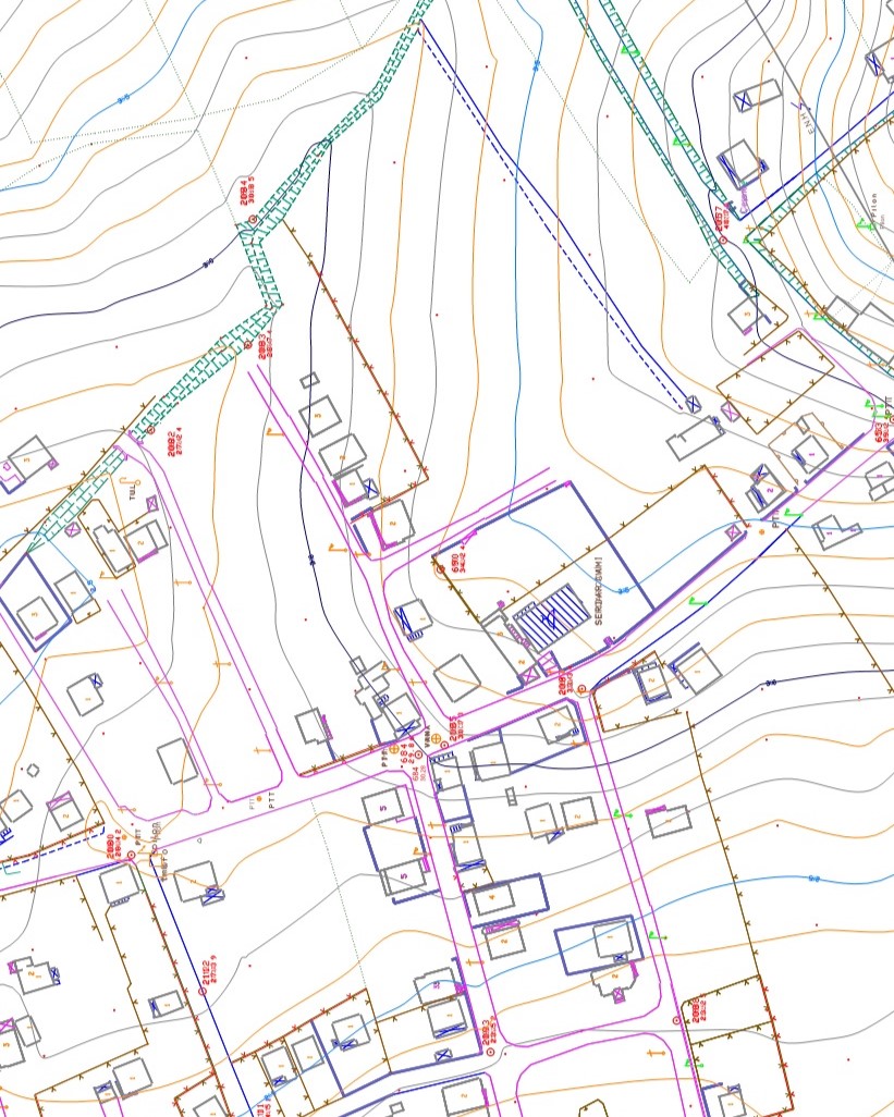
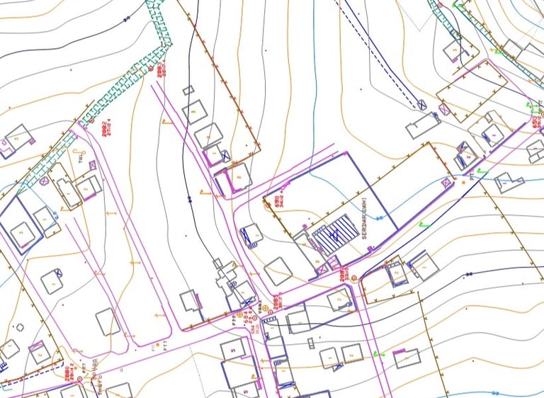
The site survey map, also known as the current topographic plan, is an accurate and detailed representation of a terrain as it exists at a given moment. It is a crucial step in the design of architectural projects, urban planning, or infrastructure.
At Altivis, we create these plans with modern measurement instruments, including total stations, GNSS-RTK, and photogrammetric drones, to ensure centimeter-level accuracy tailored to regulatory and technical requirements.
WHAT IS THE PURPOSE OF A SITE SURVEY MAP?
Visualize the natural terrain (slopes, contour lines, high/low points)
Locate man-made features: buildings, roads, walls, visible utilities
Prepare building permit applications or work declaration files
Serve as a base for architectural or technical project design
OUR TECHNICAL RESOURCES
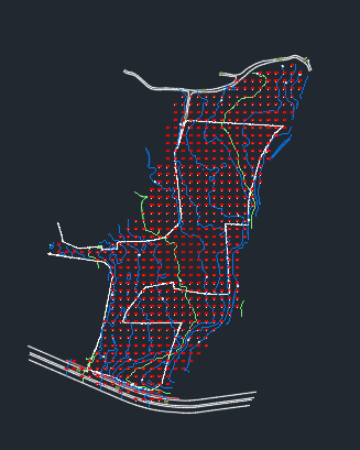
Ground surveys using total station and differential GPS (RTK)
Data acquisition by photogrammetric drone or LiDAR, depending on the context
Generation of plans at scales from 1:200 to 1:1000 according to project needs
Delivery in DWG, DXF, and PDF formats, compatible with your software
WHY CHOOSE ALTIVIS?
High precision and topographic accuracy
Experienced team of engineers
Data integration into BIM or GIS workflows
Fast and reliable delivery times
FIELDS OF APPLICATION
Feasibility studies and preliminary designs
Landscaping and environmental development
Roadworks and utility networks (VRD)
New construction or renovation projects
👉 Contact us to get an accurate and reliable plan of your site.
info@altivisgs.com
Address
Abidjan / Ivory Coast
Working Hours
08:00 - 18:00
ALTIVIS © 2025 All Rights Reserved