INDUSTRIAL DRONE PHOTOGRAPHY
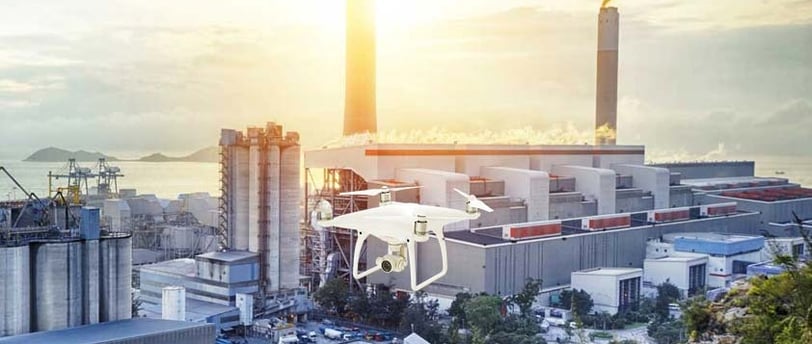
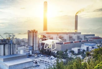
At Altivis, we offer drone imaging services for a variety of industrial applications. With our high-quality drones and expertise, we capture exceptional images and videos with remarkable precision, even in complex environments. Whether it’s for inspection, construction monitoring, or mapping, we provide reliable visual data for in-depth analysis.
Our services are used across various industries, including construction, agriculture, energy, and public infrastructure.
WHAT WE OFFER AT ALTIVIS
Exceptional Precision in Image and Video Capture
Capture high-quality visuals with outstanding accuracy, even in challenging environments.Geospatial Data Collection for Comprehensive Analysis
Gather precise geospatial data to enable thorough and accurate analysis.Aerial Inspection of Complex Industrial Sites
Conduct detailed aerial inspections of complex industrial areas, improving safety and efficiency.3D Modeling and Data Processing for Detailed Reports
Create 3D models and process collected data to produce comprehensive reports for your project needs.Customized Solutions Tailored to Your Specific Needs
Provide bespoke solutions designed to meet the unique requirements of your project or industry.
AREAS OF INTERVENTION
🏗️ Construction and Site Promotions
🏭 Factory and Production Site Videos
⚡ Energy and Technology Sectors
🚚 Logistics, Warehouses, and Infrastructure Projects
info@altivisgs.com
Address
Abidjan / Ivory Coast
Working Hours
08:00 - 18:00
ALTIVIS © 2025 All Rights Reserved